|
|
|
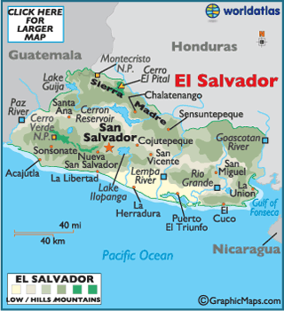
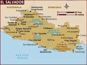
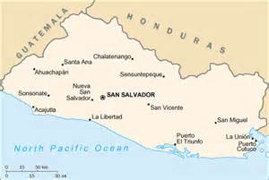
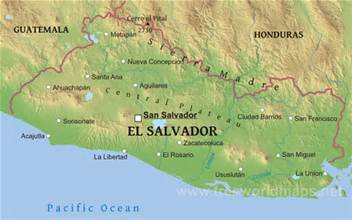
This is the regional map that highlight the location of El Salvador.
|
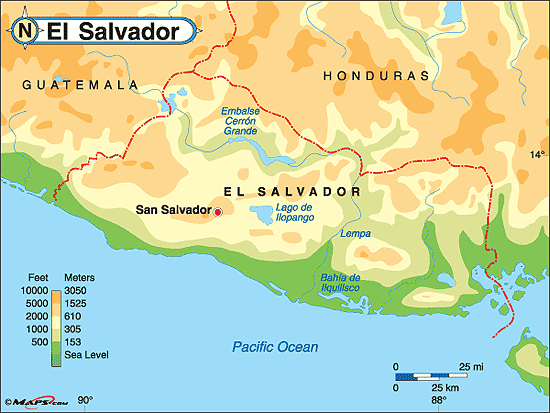
This is the countys that are physical map.
|
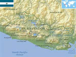
Mainly most of the city of El Salvador on google map.

|
|
|
El Salvador lies on the geographical coordinates of 13° 50'
0" N, 88° 55' 0" W. |
El Salvador surface area 8,124 sq miles (21,040 sq km) and the land area is .20720 km2
|
The water area for El Salvador is 320 km2.
|
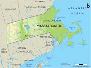
El Salvador has a total area of 21,040 sq km (8,124 miles). That makes it about the size of Massachusetts (20,300 sq km). |

|
|
EL Salvador and the hole counties are greater than Vatican City by 0.17 Area (in sq mi).
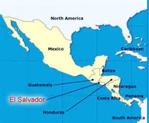
The counties which share a border with El Salvador is the Honduras and Guatemala.
|

All countries land boundaries are at least 22,407 km lower for distance.
|
|
|
|
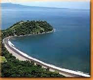
The Pacific coastline of Guatemala stretches 250km (155 miles) from the Mexican
border in the West to the border with El Salvador to the East. |
The climate is tropical; rainy season on May to October and dry season on November to April amd the tropical on coast is temperate in uplands.
|
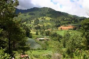
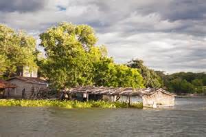
The terrain of El Salvador is mostly mountains with narrow coastal belt and central plateau.
The elevation of El Salvador is for lowest point is 0 m.
|
The highest point is at Cerro El Pital at about 2,730 m.
|
|
|
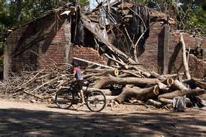
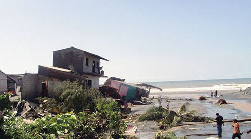
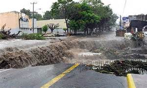
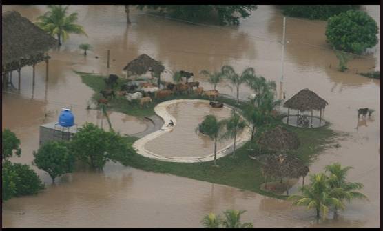
El Salvador is prone to earthquakes and hurricanes for natural disasters.
The environmental issues are deforestation, soil erosion,water pollution and
contamination of soils from disposal of toxic wastes.
contamination of soils from disposal of toxic wastes.
|
|
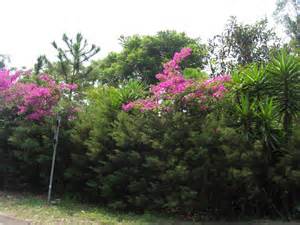
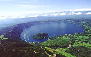
Two pictures that highlioght the country physical geography.
